

AtmoHub: Smoke travels to Greece from fires in northwestern Turkiye
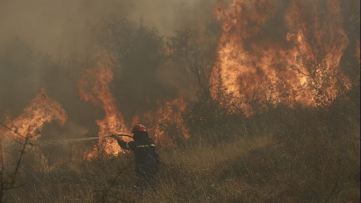
Smoke from wildfires raging in northwestern Turkiye has been carried over the border into Greece, according to a report on Wednesday by AtmoHub, the national information hub for atmospheric composition in Greece. Turkiye has been facing widespread forest fires in recent days, with new fire fronts breaking out on Tuesday, July 15, in multiple areas of the country's northwest. Winds in the region have contributed to the transfer of smoke into neighbouring Greece.
The smoke plume has reached parts of the northeastern Aegean, significantly affecting air quality in areas such as Lesvos, Attica, and Antikythera, with residents in some locations reporting the smell of burning.
A video from the interactive map application Zoom Earth - which compiles satellite imagery from the EUMETSAT Meteosat, NOAA GOES, JMA Himawari, and KAI Geo-KOMPSAT geostationary satellites - shows the trajectory of the smoke plume from the onset of the fires.
According to AtmoHub, the smoke is moving southwest toward the island of Antikythera, home to the PANGEA (Panhellenic Geosciences and Climate Change Observatory). Using the PollyXT lidar system, PANGEA will be able to detect the smoke plume, determine its altitude in the atmosphere, and analyse its composition.
You can view the interactive Zoom Earth map via the following link: https://www.facebook.com/watch?v=603835492486653